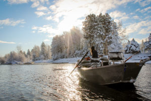

Spring is right around the corner, time to knock the rust off and get some training!
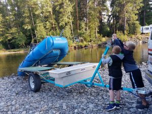
We have river rescue classes coming up this weekend (almost full) and later in May. Check the website for more information and to book.
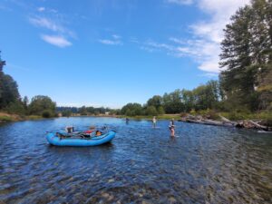
Also hit us up for fishing opportunities now and in the near future.
#riverdogoutfitters #riverdogrescue #riverrescue #swiftwaterrescue

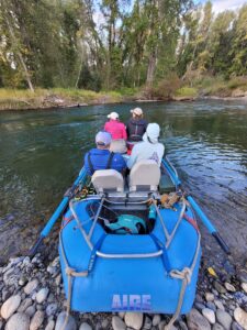
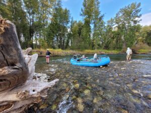
Had a great couple days of swiftwater rescue training for a local fisheries team!
There's still room in the next upcoming course June 28th, and the next one after that August 16th. Head to our website for info and to sign up! (Link in bio)
#riverdogoutfitters #swiftwaterrescue #riverdogrescue
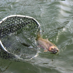
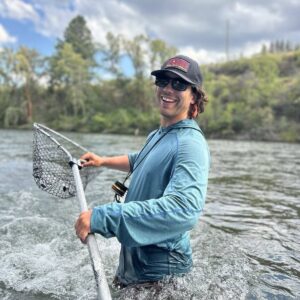
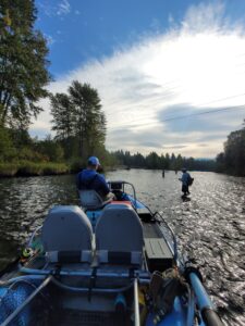
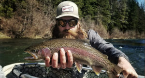
Day 1 of Upper Skagit Spring Chinook season!
Beautiful day on the river with a lot of people enjoying the weather. Fishing was tough but we made a couple connections with some wild springers that will continue swimming.
Still some open dates available on the water with us, contact to come fishing!
#riverdogoutfitters #chinooksalmon #salmonfishing